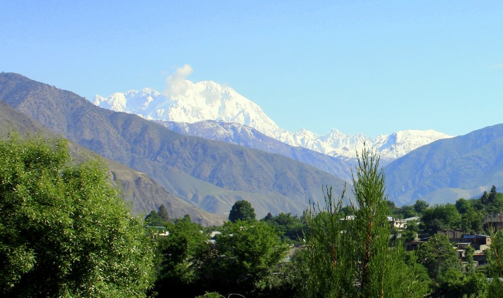
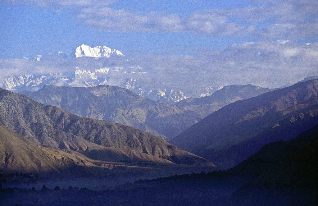
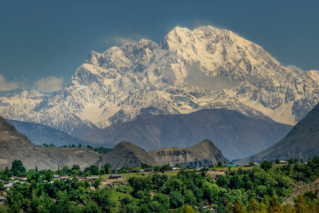
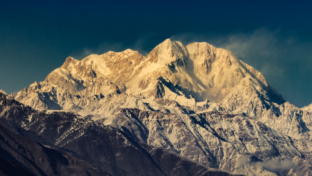
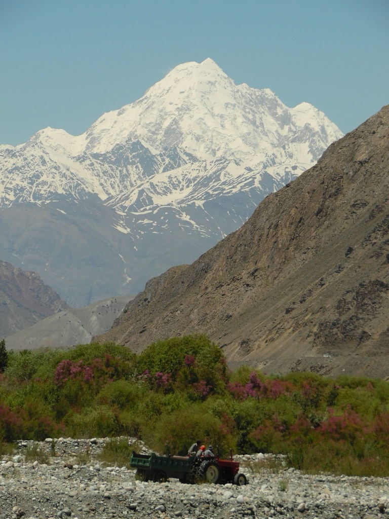
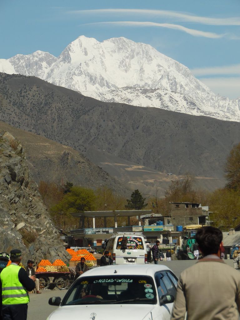
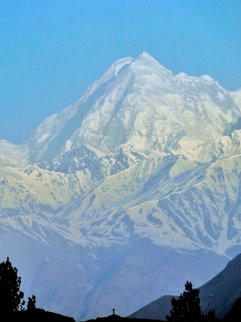
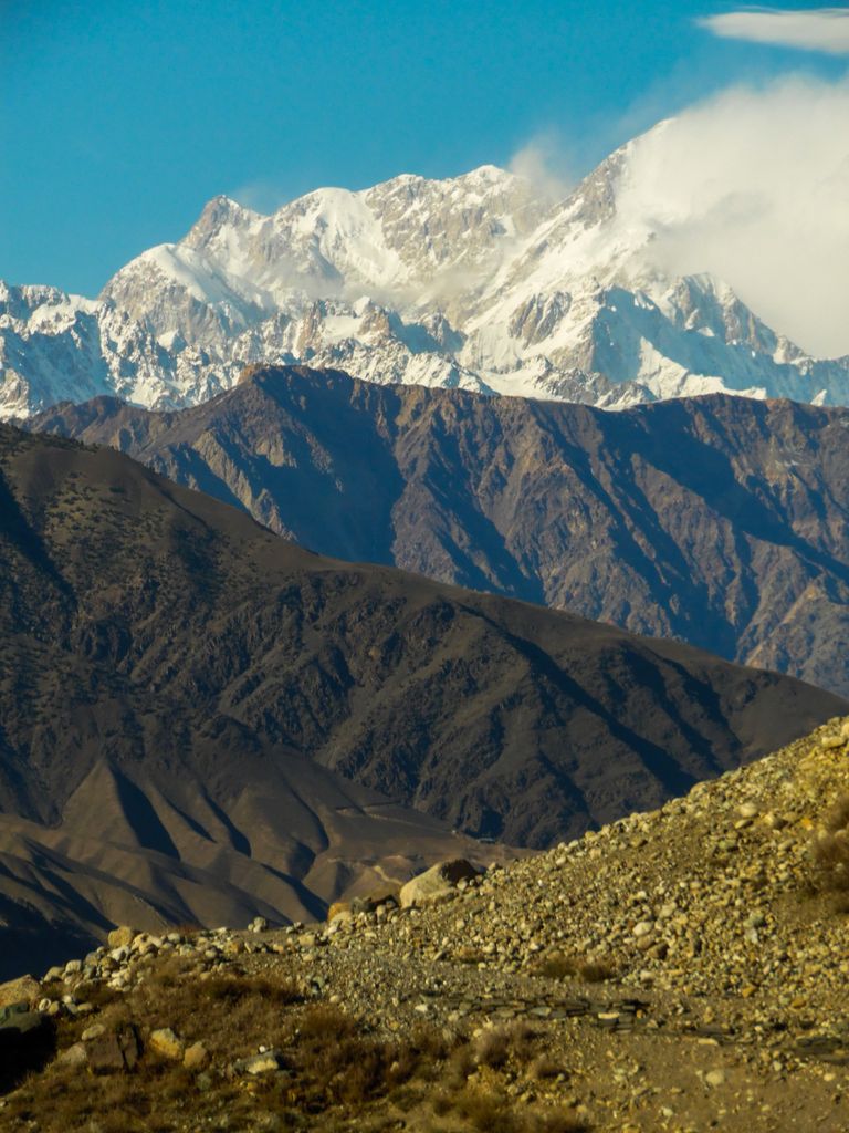
Tirich Mir (Khowar/Urdu: ترچ میر) (alternatively Terich Mir, Terichmir and Turch Mir) is the highest mountain of the Hindu Kush range, and the highest mountain in the world outside of the Himalayas-Karakoram range, located in Chitral District of Pakistan. The mountain was first climbed in 1950 by a Norwegian expedition consisting of Arne Næss, P. Kvernberg, H. Berg, and Tony Streather. Tirich Mir overlooks Chitral town, and can be easily seen from the main bazaar.
The last village in Chitral before reaching Tirich Mir is the village of Tirich. It is located in Mulkow. The people there speak the Khowar language. The residents are available for hire as porters and tourist guides and will lead trekkers part way up the mountain, but there is a point beyond which they will not go.
It is believed the origin of the name Tirich Mir is "King of Tirich" as Tirich is the name of a side valley of the Mulkhow valley of Chitral which leads up to Tirich Mir. An alternative etymology derives this name from the Wakhi language. In Wakhi, trich means shadow or darkness and mir means king, so Tirich Mir means king of darkness. It could have gotten this name as it creates long shadows on the Wakhan side of its face.
By elevation Tirich Mir is
# 1 out of 3484 in the Hindu Kush # 22 out of 8262 in Pakistan
By prominence Tirich Mir is
# 1 out of 3484 in the Hindu Kush # 3 out of 8262 in Pakistan
We use GPS information embedded into the photo when it is available.
3D mountains overlay
Adjust mountain panorama to perfectly match your photos because recorded by camera photo position might be imprecise.
Move tool
Rotate tool
Zoom
More customization
Choose which peak labels should make into the final photo and what photo title should be.
Next
Photo Location
Satellitte
Flat map
Relief map
Latitude
Longitude
Altitude
OR
Latitude
°'''
Longitude
°'''
Apply
Register Peak
Peak Name
Latitude
Longitude
Altitude
Register
Teleport
PeakVisor
This 3D model of Sagarmatha National Park in Nepal was made using the PeakVisor app topographic data. The mobile app features higher precision models worldwide, more topographic details, and works offline. Download PeakVisor maps today.
Download OBJ model
PeakVisor
The download should start shortly. If you find it useful please consider supporting the PeakVisor app.
PeakVisor for iOS and Android
Be a superhero of outdoor navigation with state-of-the-art 3D maps and mountain identification in the palm of your hand!


.jpg)